Kingston sits on shallow Paleozoic limestone of the Lindsay Formation. Bedrock is often within 3 to 5 meters of surface across the city core, but drops deeper near the Cataraqui River floodplain. Glacial till overburden varies from dense silty sand to soft lacustrine clay pockets in the west end. This geology forces a clear choice: end-bearing piles socketed into competent limestone or friction piles where overburden depth exceeds 6 meters. Our lab runs point load tests on rock cores and unconfined compression on till samples before any pile design leaves the door. For sites near the waterfront where fill and organic silt complicate bearing, we often cross-check stratigraphy with an in-situ permeability test to confirm groundwater flow won't compromise pile installation.
Shallow limestone in Kingston demands rock-socketed piles. We design the socket length, diameter, and concrete mix based on lab-tested core—not assumptions.
Our approach and scope
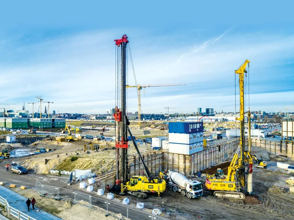
Field verification is mandatory. We mobilize our drilling crew for test piles, run PDA monitoring during driving, and compare blow counts to design assumptions. This closes the loop between office and ground—a step we never skip.
Site-specific factors
Kingston winters freeze deep. Frost penetration in saturated glacial till reaches 1.2 to 1.5 meters—pile caps must sit below frost depth or incorporate insulation. Spring thaw brings a different problem: groundwater rises sharply, especially in low-lying areas near the Little Cataraqui Creek. Buoyancy and reduced effective stress during these months can alter shaft resistance. We factor seasonal water table fluctuation into our design models. Another risk is karstic voids in the limestone. Not common everywhere in Kingston, but documented in some formations. If we suspect dissolution features, we recommend probe drilling below the socket tip. A pile founded on thin rock over a void is a failure waiting to happen.
Seismic liquefaction is less of a concern on rock sites, but sandy till layers near the waterfront warrant a liquefaction assessment before finalizing pile type and depth.
Regulatory framework
NBCC 2020 (National Building Code of Canada), CSA A23.3-19 (Design of Concrete Structures), CSA S6:19 (Canadian Highway Bridge Design Code), ASTM D1143 (Standard Test Methods for Deep Foundations Under Static Axial Compressive Load)
Related services
Axial and lateral pile design
We compute shaft resistance, end bearing, and lateral deflection for individual piles and groups. Design parameters come from our own lab tests on rock cores and soil samples taken at your Kingston site. Reports include p-y curves, settlement estimates, and structural reinforcement details per CSA A23.3.
Pile testing and verification
We run high-strain dynamic testing (PDA) during driving and static compression tests on drilled shafts. Results confirm capacity matches design, and we adjust driving criteria or socket depth if needed. Final report stamped for submission to the City of Kingston building department.
Typical parameters
Common questions
How deep do piles need to go in Kingston?
It depends entirely on bedrock depth at your site. In downtown Kingston, rock is often at 3 to 5 meters, so piles are short rock sockets. In western areas or near the Cataraqui floodplain, overburden can reach 15 meters or more, requiring longer friction piles. We determine exact depth after drilling and testing.
What type of pile is best for Kingston limestone?
Drilled shafts socketed into limestone work well for high loads and tight access. H-piles driven to refusal on rock are cost-effective for lighter structures. The choice depends on load magnitude, site access, and overburden conditions. We recommend after reviewing the geotechnical investigation data.
What does pile foundation design cost in Kingston?
Design fees range from CA$2,230 to CA$9,690 depending on project complexity, number of piles, and required field testing. A straightforward design for a single-family home on shallow rock falls at the lower end. Commercial projects with pile groups, lateral analysis, and PDA testing fall at the upper end.
Do you handle the City of Kingston permit requirements?
We provide stamped design reports and drawings suitable for building permit submission. Our documents address the structural and geotechnical requirements under the Ontario Building Code and NBCC. The permit application itself is handled by the owner or contractor, but we support with technical responses if the city reviews the design.